Science Says What? is a monthly column written by Great Lakes now contributor Sharon Oosthoek exploring what science can tell us about what’s happening beneath and above the waves of our beloved Great Lakes and their watershed.
The Great Lakes contain a whopping 5,500 cubic miles of freshwater, making them one of largest sources of freshwater in the world – large enough in fact to influence the region’s weather which impacts the 40 million people living around the lakes.
But as scientists have been saying and residents are now better understanding, climate change is upending long-established weather patterns with more heavy precipitation leading to flooding, soil erosion and water quality issues from nutrient runoff.
So how exactly are rising temperatures associated with climate change leading to such mayhem?
For starters, warmer air holds more moisture than cooler air, which means more frequent and intense rainstorms and snowfall. According to a recent assessment of climate change from Great Lakes area scientists in the US and Canada, the region has warmed 1.6°F in annual mean temperature between 1901 and 2016. That’s more than the average change of 1.2°F for the rest of the contiguous United States.
Brace yourselves though because scientists say it’s only going to get hotter and probably wetter. By the end of the century, global average temperatures are expected to rise another 2.7°F to 7.2°F, depending on future greenhouse gas emissions, with corresponding changes in the Great Lakes region.
Water and Ice
As expected, warmer and moister air has indeed led to more precipitation in these parts in the form of both rain and snow. While annual precipitation in the US rose 4% between 1901 and 2015, the Great Lakes region saw an almost 10% increase over the same period.
Much of this deluge came during intense storms. The latest models suggest wetter winters and springs, and slightly drier summers by the end of the century.
Just as air temperatures around the lakes have risen, so too have water temperatures. This means ice cover forms later in the season and melts earlier than it once did.
The past two decades have seen much-lower-than-normal ice cover, especially in lakes like Erie and Superior that have a history of freezing almost completely. Less time with ice cover means more time for evaporation, which can lead to an increase in precipitation over nearby land, especially “lake effect” snow.
That’s something Buffalo residents know only too well. A Christmas 2022 weekend blizzard dumped 52 inches of snow, causing more than three dozen deaths in Erie County.
Less ice cover also means less protection from winter storms and more shoreline erosion. Along Lake Erie in 2020, homeowners saw large chunks of their property disappear and found themselves on the hook for installing retaining walls to stave off further loss.
Superior Impact
While each lake has seen slight increases in average surface water temperatures since 1995, Lake Superior takes the prize, so to speak. It’s one of the fastest warming lakes on Earth.
Superior’s great depth makes its rapid warming distinct from other Great Lakes. “The lake has a ‘longer memory’ than a lake like Lake Erie. It takes a longer time to recover from a warm winter,” Jay Austin, a physical limnology and oceanography professor at the University of Minnesota Duluth told Great Lakes Now. “It’s not so much that the summers are getting warmer, but the winters have gotten a lot more mild.”
The resulting widespread heavy rains across the region in recent years have led to flooding, soil erosion, and water quality issues from nutrient runoff from farmers’ fields. It’s also resulted in waterlogged fields that have forced farmers to delay or even forgo planting crops.
In cities, with all their impermeable surfaces such as rooftops, roads and parking lots, intense rains are damaging homes and other infrastructure.
In June 2021, more than six inches of rain fell in less than 24 hours in the Detroit metro area, flooding thousands of homes and businesses and costing tens of millions of dollars in damage. The storm overloaded pump stations, flooded low-lying sections of freeways, and caused power outages to approximately 40,000 homes and businesses.
In July 2013, Toronto experienced its most costly storm ever, with an estimated $1 billion in damages. The Don River broke its banks, rail underpasses flooded, GO train passengers were trapped and about 300,000 residents lost power.
Solutions?
While we can’t control precipitation or ice cover, there are strategies for coping. Land managers around the Great Lakes are experimenting with replacing pavement with more permeable surfaces, and building rain gardens and rooftop gardens that can both reduce ambient air temperatures and soak up precipitation.
Communities are also restoring – or softening – shorelines to their natural state as a strategy for reducing erosion from destructive waves. That means removing hard features like concrete and seawalls, and reintroducing native plants and wetland habitats. It also means moving buildings away from shorelines to help reduce property damage from flooding.
Paul Chinowsky, an environmental engineer at the University of Colorado Boulder, recently showed that the cost of repairing and maintaining infrastructure in the United States could run to hundreds of billions of dollars annually by the year 2090. But if society acts early, this price tag could drop by up to 30-fold.
“It is not so much that we need to figure out a solution,” he says. “It’s that we have to make a decision to put a solution in place.”
Catch more news at Great Lakes Now:
Multi-state group prepares Great Lakes basin for effects of climate change
Michigan winters are super cloudy and getting worse. Here’s how to deal.
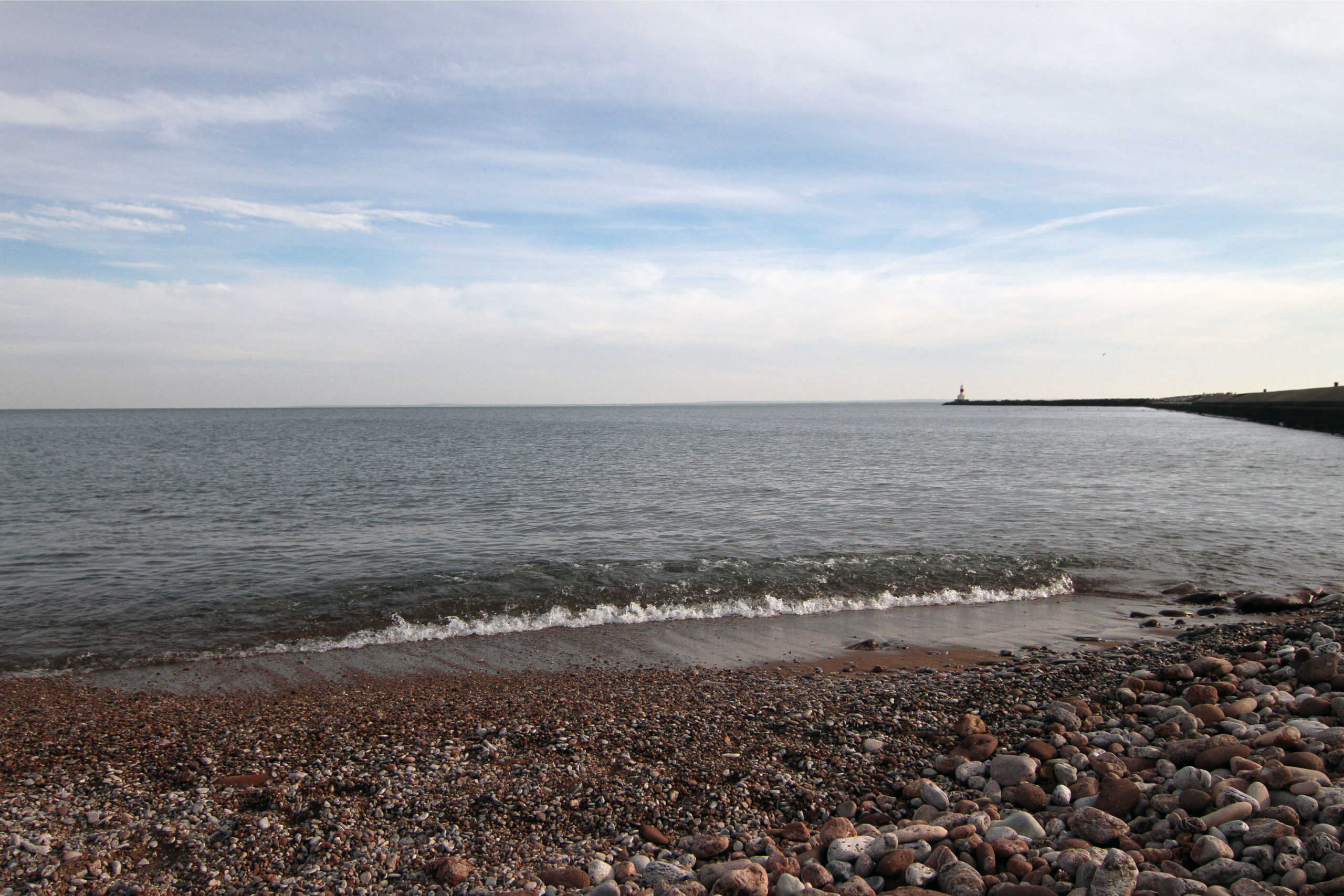
Featured image: Lake Superior from Presque Isle Park in Marquette, Mich. (Photo Credit: Zosette Guir/Detroit Public Television)


