
Researchers are using cutting-edge technology to map the lakebeds of the Great Lakes, uncovering valuable data about the ecosystems beneath the surface.
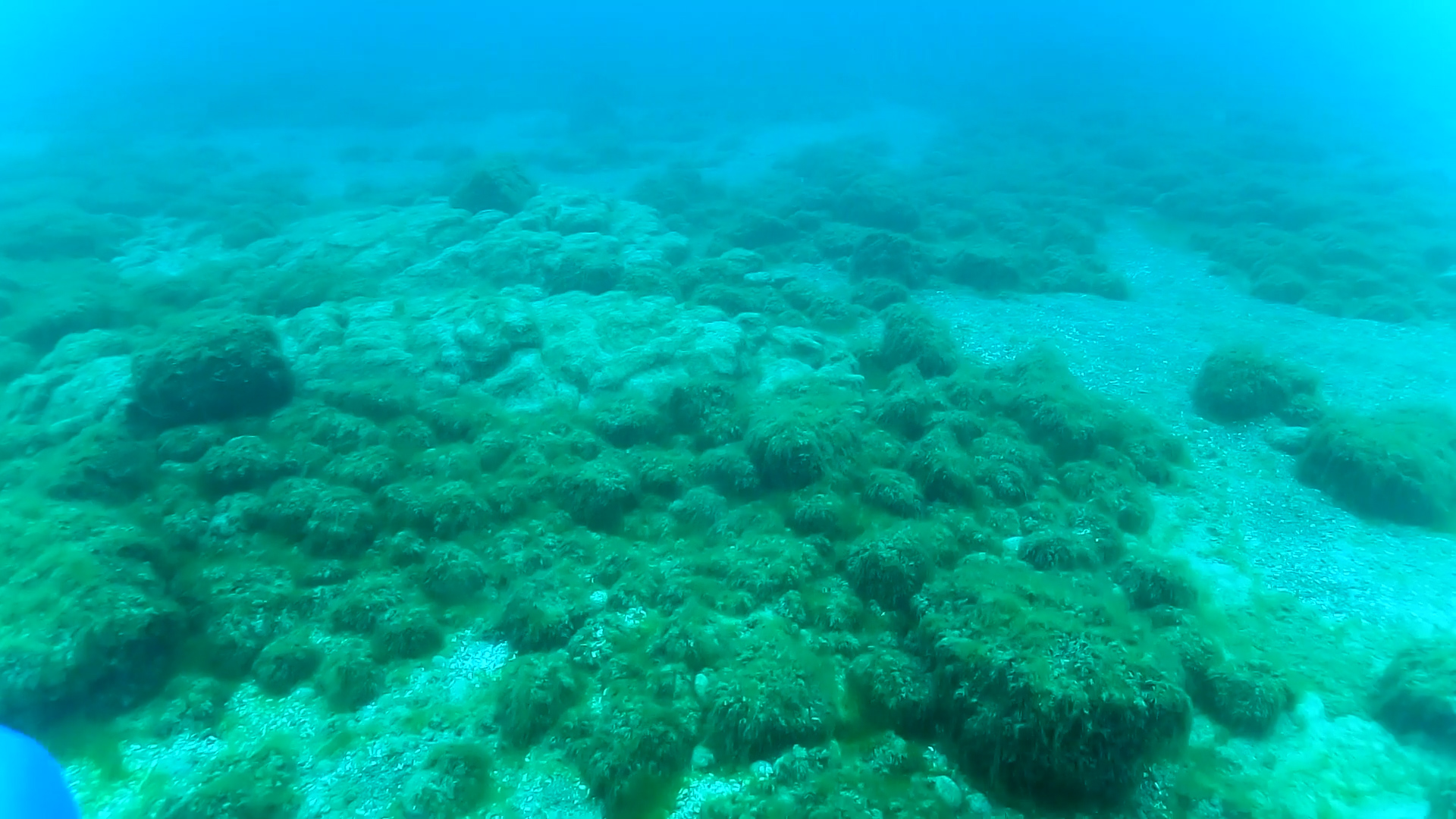
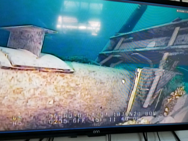
At Michigan Technological University’s Great Lakes Research Center, Hayden Henderson and his team are part of an ongoing effort to document benthic. Using a wide array of technology, they’re gathering detailed images of the lakebeds, providing vital information to fishery and resource managers. These maps are not only crucial today but will continue to inform decisions for years to come.
This collaborative effort, involving experts across the region, aims to enhance the understanding and management of the Great Lakes, offering a deeper look at the lakes’ ecosystems and the challenges they face.
Catch more news at Great Lakes Now:
Mapping the Great Lakes: Underwater discoveries await
Spooky Lake Superior: The SS Kamloops
Featured image: Benthic lakebed mapping. (Photo Credit: Great Lakes Now)
