The Great Lakes, holds within its terrain a secret — rocks that possess stories as ancient as time itself. These unassuming formations are not just ordinary rocks; they are envoys of a bygone era, of continental shifts and testaments to the Earth’s ever-evolving narrative.
In this interview with geologist Kevin Kincare, we unravel the mystery behind why rocks in the Great Lakes are so unique. Join us as we delve into the depths of geology to understand the forces that have shaped these remarkable formations, and gain a newfound appreciation for the silent witnesses of our planet’s history.
How did you get started in the field of geology?
Kincare: Well, I was at Western Michigan University in the 70s. I was actually in the archaeology program first. And I was on an archaeology dig in the summer, might have been ‘75 or ‘76. I noticed that none of the archaeologists really seemed to know the landforms we were working on. I thought, oh, seems like I could make myself more necessary to these people if I knew a little geology. So, I started taking geology classes and then I ended up liking it more than archaeology. How did this landscape change, and what did it look like to the Native Americans, 2000 years ago? How was it different?
What is unique about the rocks in this Great Lakes Basin area?
Kincare: A lot of people like to look for fossils. And, especially we have a lot of Devonian fossils in Michigan. Especially with the Petoskey stones, which are a particular kind of coral called Hexagonaria. There’s another fossil that the Great Lakes is famous for which is locally called honeycomb coral. Its actual name is Favosities, they are much smaller than Petoskeys. A Favosities is barely sixteenths of an inch across. Whereas each animal in a Petoskey stone, their chamber is almost a half an inch, anywhere between a quarter inch and a half an inch across.
What is it about a lake versus an ocean where you’re able to kind of get these fossilized rocks?
Kincare: Well, it’s completely dependent on the bedrock of the area. It’s dependent on where the rocks crop out. It’s not a function of the fact that these are found on an inland lake. But it’s also a function of the fact that the glaciers came by and shaved all the bedrock, and then distributed it hither and yon. The Devonian rocks have a fairly limited outcrop area from Petoskey, in a kind of arc across Alpena and Rogers city. But the glaciers picked that stuff up and took it all the way to Indiana. Just picked it up and spread it all over the place, from north to south.
There are a lot of shales that only have micro fossils, things that are so small you can you can’t see them. Well, you could say it’s bad luck because you have to die in order to become a fossil. But once you’re dead, you probably don’t care. After you’re unlucky enough to die, it takes a lot of luck to become a fossil, you have to get buried in order to become a fossil, and you have to get buried in the absence of oxygen, because oxygen tends to decompose organic matter. And you also have to have hard parts in order to have a better chance of becoming fossilized. It’s not a requirement, there are soft things that have been fossilized, but it’s just so much rare. So, having hard parts, like bones or shells is a requirement. And then, you have to get buried. And there’s animals that that spend their lives digging through the sediments to find things to eat. So, you’d have to be buried deeper and more quickly. There are so, so many hoops, in order to become a fossil. It’s unfortunate that I can’t remember what the percentages are. But the percentages of things that were alive and become fossilized is just vanishingly small. Geologists and Paleontologists spend a lot of time establishing the family trees for various creatures, because it’s hard to become a fossil.
So, in terms of the geology of the Great Lakes region, what is notable or unique about it?
Kincare: The shape of the Great Lakes is determined by the geology—not including the western part of the Upper Peninsula, which is a different. But the basic geology is that it’s a basin, and over 500 million years, the center of Michigan, which is somewhere in the vicinity of Mount Pleasant, has been slowly sinking, and that’s what we call a geologic basin. And geologic basins tend to fill with sediments, but they fill with different kinds of sediments, depending on the environment at the time. There’s sandstone from 500 million years ago. Then, the environment changed and limestone formed. After that, the waters got a little bit deeper and shales tended to form, which is a clay deposit that forms in deep water, but erodes more easily. This was before the glacial period, during the Silurian time period, when there were river valleys and Michigan was close to the equator. Then, the environment changed again, and limestones formed. A lot of the clays that are in our glacial deposits are the shales that were eventually ground up by the glaciers and then redeposited in glacial lakes. It was actually sea water that was filling the basin at the time, which actually dried out and is why there are salt beds in Michigan.
The reason I brought it up is because it’s part of the story of making the Great Lakes into the shape that they’re in. Salt, as most people know, is very soluble, it dissolves very quickly and very easily. All you have to do is shake a little salt on the counter and drop a little water on it, and it dissolves into the water very quickly. And you know, a few maybe million years after that salt was deposited and buried. Groundwater seeps down into that deposit. Because like I said before, Michigan is like a basin. And the deposits that were put into that basin make it look like a series of massive bowls. So, the biggest bowl is the oldest, cropping out along the along the outermost part of the Great Lakes.
So, these sort of nested bowls that you’re talking about, how many of them are there surrounding the Great Lakes?
Well, it depends on whether you’re a lumper or a splitter. Some people like to lump things together and make broad categories. Some people like to slice and dice things very finely. I’ve never actually counted how many bowls there are. But it depends on how you slice and dice the geology. You know, you could do it in as few as 9. Or if you’re a splitter, there could be 100.
Each bowl exposes so many different layers, that there’s a lot of different types of mineral deposits. Meaning there’s a diversity of rocks that we see because of all the different layers of the bowl, along their edges. The bowl shape with the Great Lakes, means we have more interesting access to these different kinds of rocks.
For anyone looking to get into rockhounding, these books are a great place to start: Michigan Rocks and Minerals, Under Michigan: the story of Michigan’s rocks and fossils, and Michigan Rocks.
This interview has been condensed for clarity.
Catch more news at Great Lakes Now:
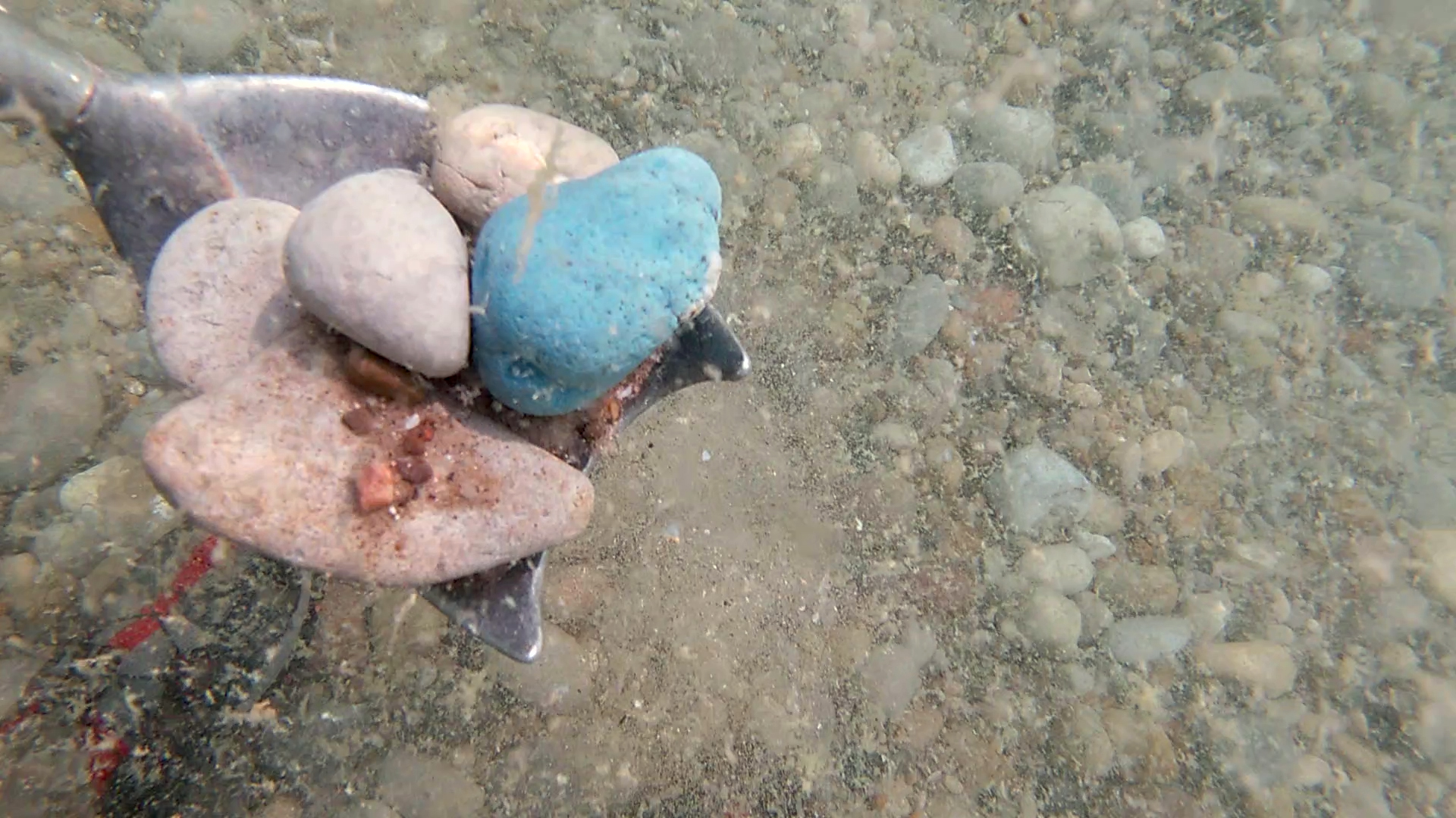
Featured image: Rock shovel. (Photo Credit: Great Lakes Now)


