Invasive zebra and quagga mussels are firmly established in the Great Lakes, and efforts to control them have proved mostly fruitless. But environmental managers still want to know where they are, how many there are and what they are up to, so they can predict how the ecosystem will be affected and protect vital infrastructure.
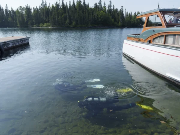
Keeping track of the invaders, however, is an expensive and time-consuming task, usually involving divers and collection scoops deployed from boats that can physically sample the mussels.
But Angus Galloway – a PhD student in engineering at the University of Guelph in Ontario – and his colleagues are developing a cheaper and faster system, that uses artificial intelligence to analyse images and determine how many mussels are present. The work was published recently in the journal Limnology and Oceanography Methods.
“When you can automatically count mussel abundance and biomass without having to do arduous physical sampling, you can start to get a much higher resolution picture of what mussel abundance looks like throughout the lake,” he said.
Galloway trained an AI system known as a deep neural network on a set of photos collected by divers who were studying nuisance algae to recognise and automatically assess the abundance and biomass of any zebra or quagga mussels in the picture. The AI proved to be fairly good at it – about 80% accurate in estimating biomass and 70% for abundance. That doesn’t quite match up to trained divers yet, who were better than 90% accurate at estimating biomass and abundance, but Galloway has some ideas on how to improve the performance.
The training photos they used, for example, just showed two-dimensional views of the mussels, but in nature they can grow in any direction and pile on top of each other.
“I have some ideas for using 3D computer vision to resolve some of the optical illusions you can get underwater, and maybe close that gap,” he said.
Galloway envisions a system that could be towed behind a boat or deployed by an underwater drone to give real-time data on mussel locations and abundance – and it could even be tweaked to identify on other things besides mussels, such as nuisance algae, small fish or types of substrate.
Jeremy Crossland, a program manager in land use and natural resources for the U.S. Army Corps of Engineers in Washington, D.C., said the mussels can have a huge impact on any water-based infrastructure, especially things like agricultural and drinking water intakes where they can restrict the water’s movement and reduce the system’s capacity. Monitoring and dealing with the mussels can be extremely labour intensive, so a fast and reliable AI system that could identify where mussels are and how they are distributed over an area could help managers make decisions on mussel control programs or the best sites to locate new infrastructure, he said.
“Any tool like this, using AI and visual recognition so we don’t have to go out in the field all the time would be a huge benefit,” said Crossland.
Catch more news at Great Lakes Now:
Mapping the Great Lakes: Power up
Years of regulation may have reduced invasive species risks in the Great Lakes, study says
Featured image: Zebra and quagga mussels spread from the Great Lakes across the country, like these zebra mussels found in Oregon. (Photo Credit: USDA/Bob Nichols)


