This article was republished here with permission from Great Lakes Echo.
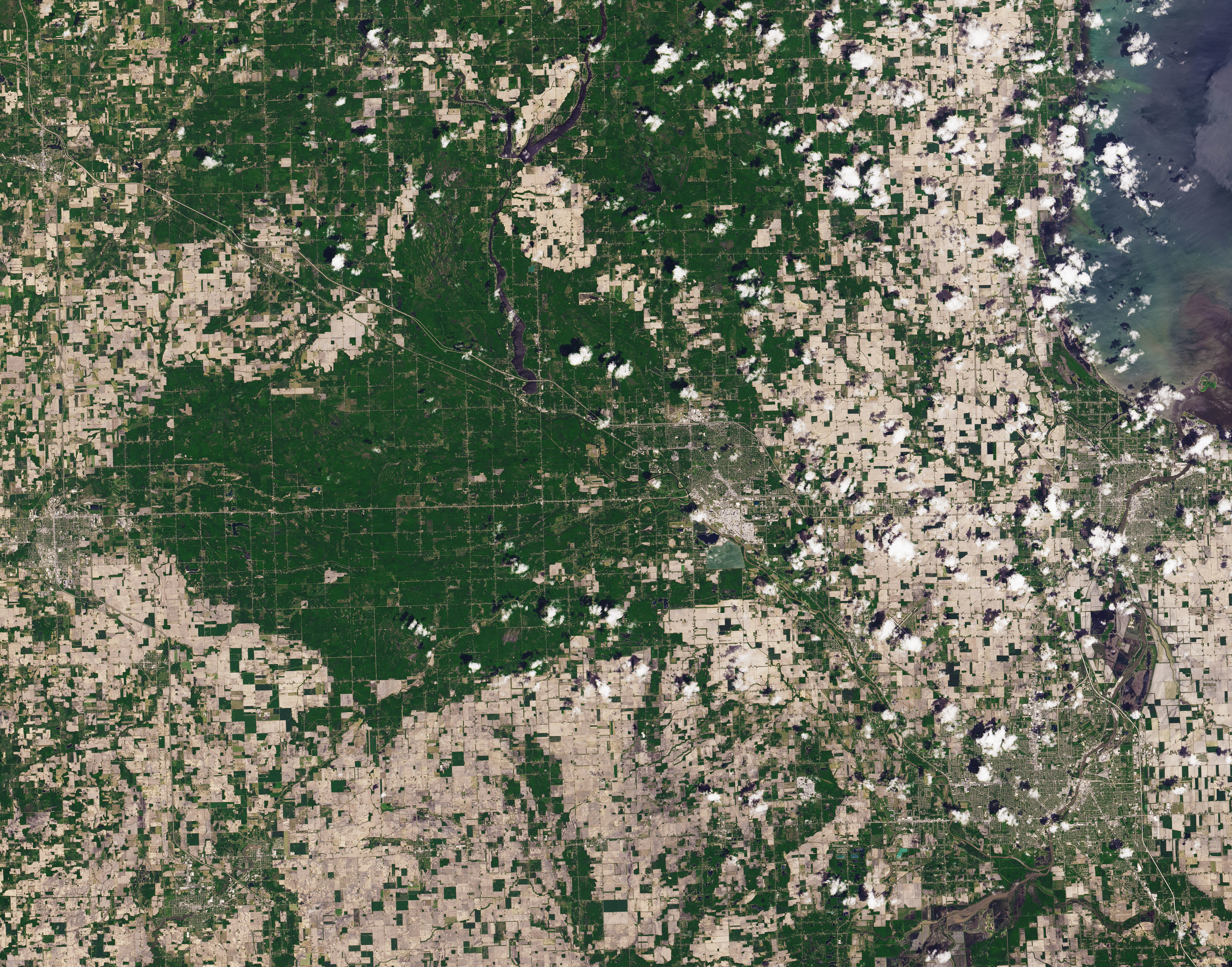
NASA’s Earth Observatory worked up this cool comparison to show the impact of the recent dam bursting in Midland.
The images above were captured by Operational Land Imager (OLI) on Landsat 8 and show the Tittabawassee River on May 20, 2020 (right), compared to June 3, 2019 (left). Read more about the images on NASA Earth Observatory.
Read more coverage of the Midland dam breaches on Great Lakes Now:
Legal Responsibility: Michigan lawsuit blames dam owner for Midland dam failure
Rescuing History: Museum experts across Michigan race to save the Midland archive
More Than Dow: Chemicals, contaminants and untreated sewage all washed out by Midland dam breaks
Midland Flooding: Climate change and rains exacerbate dam infrastructure issues
Featured image: Satellite image of Midland County, Mich. (Image from NASA Earth Observatory)


