Floating islands on the Chicago River are creating habitats for fish, turtles and birds inside the city waterway, while up north in Lake Superior, scientists are working to protect a rocky reef from legacy mining pollution. Also on this month’s Great Lakes Now program, see what happened after a fast-growing western Michigan community started running out of drinking water.
WHERE WE TAKE YOU THIS MONTH
Watch Live on DPTV
Tuesday, September 24 at 7:30 PM
STATIONS CARRYING THE SERIES
DPTV
Detroit, Michigan
WNED-TV
Buffalo, New York
WGVU-TV
Grand Rapids, Michigan
WNMU-TV
Marquette, Michigan
WCMU-TV
Mount Pleasant, Michigan
WNIT-TV
South Bend-Elkhart, Indiana
WCNY-TV
Syracuse, New York
WGTE-TV
Toledo, Ohio
WPBS-TV
Watertown, New York
This Month on Great Lakes Now
Click the tabs to read descriptions of each feature in Episode 1006.
Floating Habitats
SEGMENT 1 | CHICAGO, ILLINOIS
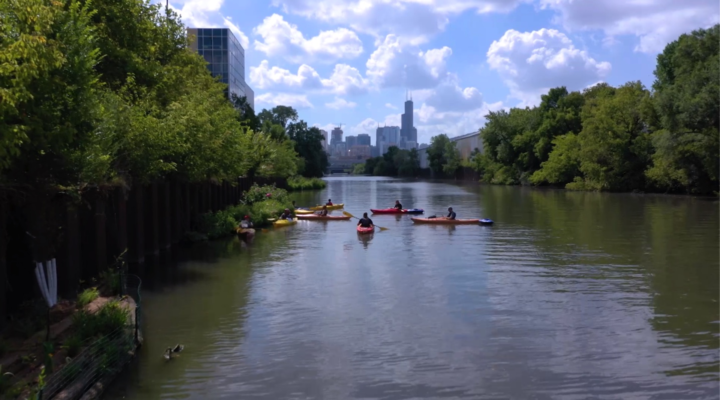
Building islands on the Chicago River creates habitat for fish that citizen scientists (in kayaks) help preserve
It winds through Chicago’s downtown, neighborhoods and industrial areas, its once-leafy, rocky banks long ago replaced by the steel and glass of the Windy City’s noteworthy architecture.
But while progress brought more people to offices and condos along the Chicago River, they displaced the native plants that had been home to fish, turtles and birds.
A partnership of the John G. Shedd Aquarium’s Kayak for Conservation program and the Urban Rivers organization has created new “floating” islands to replace the habitat and give citizen scientists an opportunity to help with the project and its research. These artificial “islands” are anchored to the river’s edge and bottom, providing a base for plant species to grow and places for fish to spawn and grow. Turtles and birds also find food and shelter among the grasses.
Then Shedd scientists and trained volunteers – who reach the islands by kayak – gather data and help protect the river habitat.
“One of the things that we’re asking participants to collect out here, while we’re on the river, is trash data,” says Edward Warden, a conservation stewardship facilitator with the Shedd Aquarium. “We can start looking at, for example, … determining what are the best courses of action to actually prevent (trash and debris) from getting there in the first place.”
At night, when the kayakers are gone, Shedd Aquarium research biologist Austin Happel studies the islands’ effects on the fish population. In particular, he’s interested in finding out whether the floating islands are making the steel-walled Chicago River more hospitable to fish or giving them a place to spawn.
“It’s not like this couldn’t be replicated in the Cuyahoga or in the Kalamazoo (River) or in the Fox River or other rivers that flow directly into the Great Lakes. So this might end up being a model system that can help both clean up nutrients and provide fish habitat for other Great Lakes cities,” Happel says.
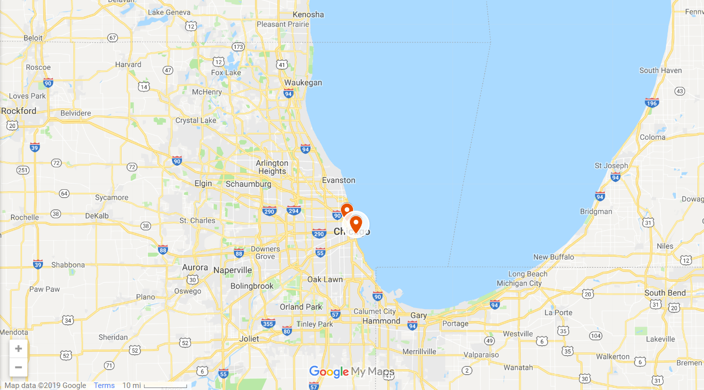
- The Shedd Aquarium is located on Chicago’s lakefront. To see more museums — and aquariums, forts and historical sites — along the Great Lakes, check out our interactive map of them HERE.
- Read more about the Shedd Aquarium >
Out of Water
SEGMENT 2 | OTTAWA COUNTY, MICHIGAN
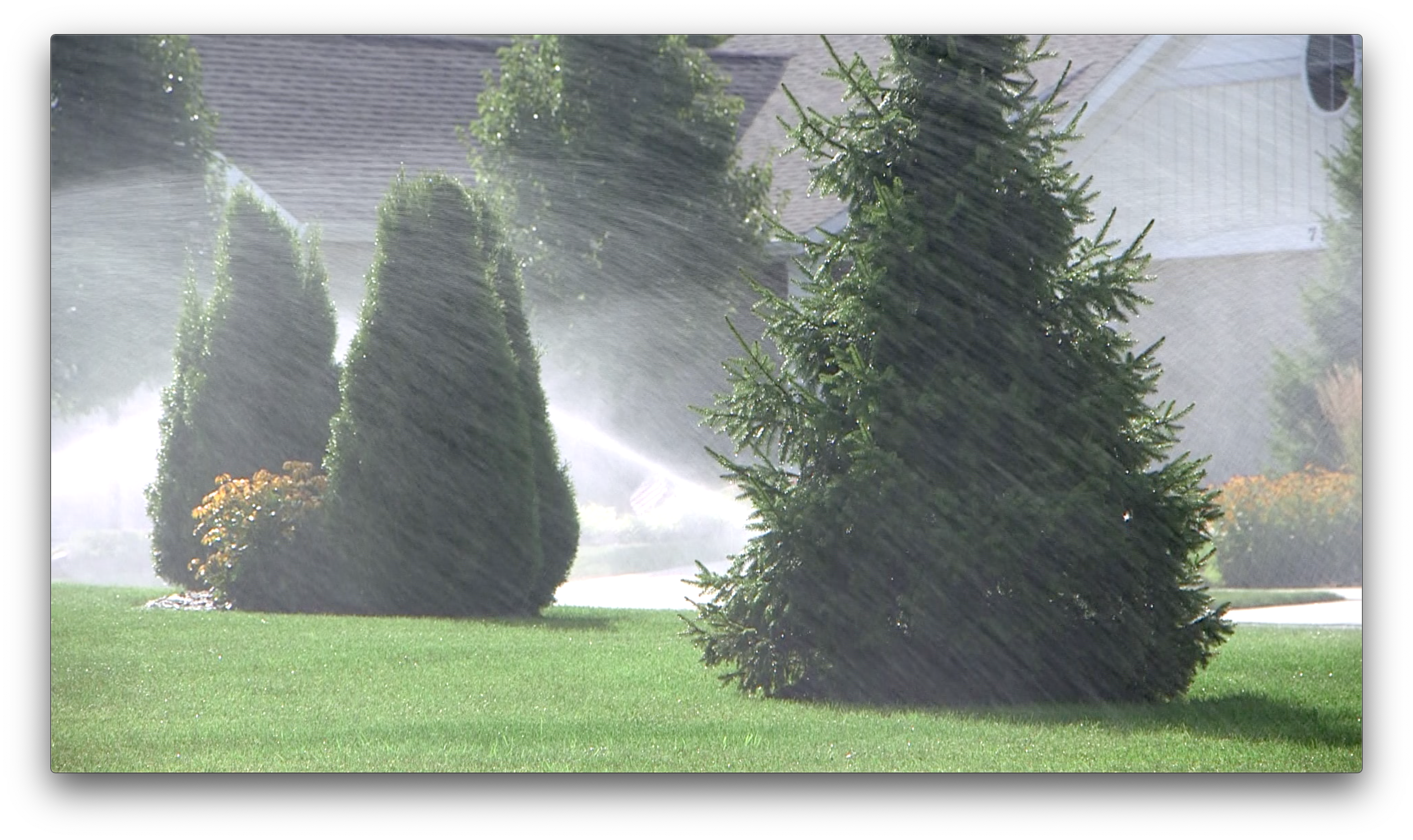
A Great Lakes community ran out of drinking water – now what?
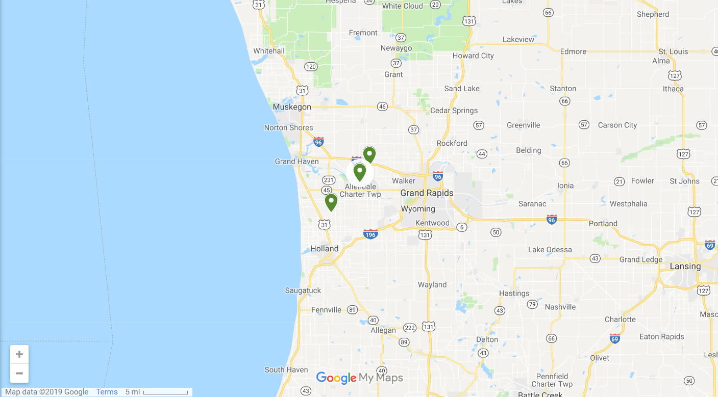
“They woke up in the morning, turned on their faucets and had no water coming out of the pipes,” says Paul Sachs, Ottawa County’s planning and performance improvement director.
The problem? Wells for the growing number of homes and businesses had been drilled into a deep aquifer—the Marshall Formation—which can’t recharge fast enough to keep up with new demand for drinking water. As a result, water levels have declined 40 feet over the past 50 years. That’s bad news for Allendale Township.
“When you are growing as a community,” says Sachs, “and the economic development and vibrancy is dependent on that growth, and you find out that there’s a water issue, that’s going to make you stop and think, what are we going to do moving forward?”
Since then, some local officials have prevented new development that relies on well water. Farmers have noticed a change in their fields, and researchers continue to study the aquifers and determine how much water is left and what the continuing withdrawals mean to the supply and the community using it.
WGVU produced this segment with support from a Great Lakes Now Local Station Production Grant.
- Groundwater is sometimes called “The Sixth Great Lake.” HERE’s why.
Buffalo Reef Restoration
SEGMENT 3 | KEWEENAW PENINSULA, MICHIGAN
Native tribes and scientists fight the legacy pollution threatening the Upper Peninsula’s fish population
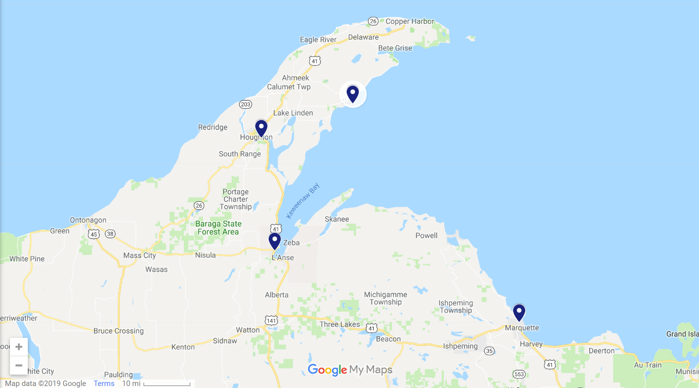
The Keweenaw Peninsula became known as Copper Country after the mining boom that started in the 19th century and produced over 7 million metric tons of copper. Two of those mines on the peninsula sent trainloads of rock to mills located along Lake Superior where they were washed to separate the waste rock from the copper.
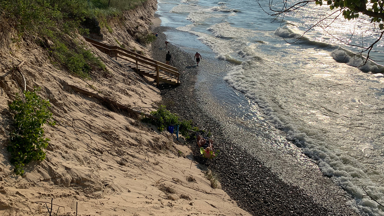
The waste rock, known as tailings or stamp sand, was then dumped, and now it’s drifting to Buffalo Reef and threatening fish populations.
“Lake trout and whitefish that are spawning in this area like very specific habitat… and Buffalo Reef is an almost sort of very perfect spawning reef for lake trout and whitefish,” says Gord Paterson, assistant professor at Michigan Technological University’s Great Lakes Research Center.
But the drifting stamp sand can clog up the spaces in the reef where trout and whitefish lay their eggs, and high amounts of copper in the sand make it a chemical pollutant as well.
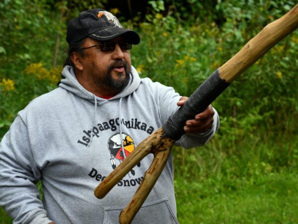
If the stamp sands stop trout and whitefish from spawning on the Buffalo Reef, it would be a disaster for those who depend on the fish of the Buffalo Reef—including the Keweenaw Bay Indian Community, says Evelyn Ravindran, the KBIC’s natural resources director.
“The Keweenaw Bay Indian Community is a fishing community,” she says. “It’s part of our identity, and the loss of that reef would be devastating to our community.”
***
- If you’re looking for more about Copper Country and the Keweenaw Peninsula, Michigan Tech University Archives have several collections. Poke around THIS PAGE of the online collections and guides to get your history on.
- The Keweenaw National Historic Park, part of the U.S. National Park Service, gives visitors a chance to learn more about mining history. It’s one of several Canadian and U.S. national park sites around the Great Lakes. See them all on THIS MAP.
- The EPA is spending $3.7 million to help remove the stamp sand from the area. Read more details HERE.
- The EPA also put together an interactive map of all its Great Lakes Restoration Initiative-funded projects, including the Buffalo Reef restoration. Click HERE to learn more.
Have a question about the Great Lakes or life in the region?
Ask Great Lakes Now, and if we can answer it, we might loop it into our coverage so others can learn too.
Submit Your QuestionPrevious Episodes
Ships and Shipwrecks
Episode 1002
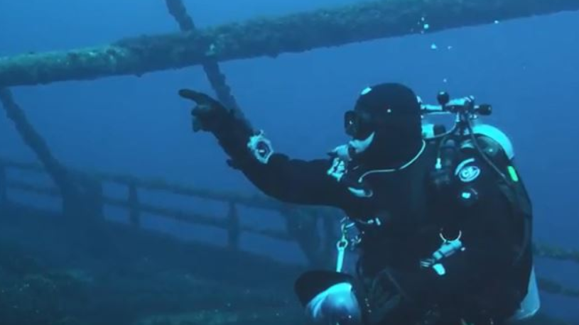
A 145-year-old Great Lakes mail delivery tugboat, life on a freighter, and shipwrecks in the Great Lakes’ only national marine sanctuary.
Watch the ShowFire, Fish and Food
Episode 1003
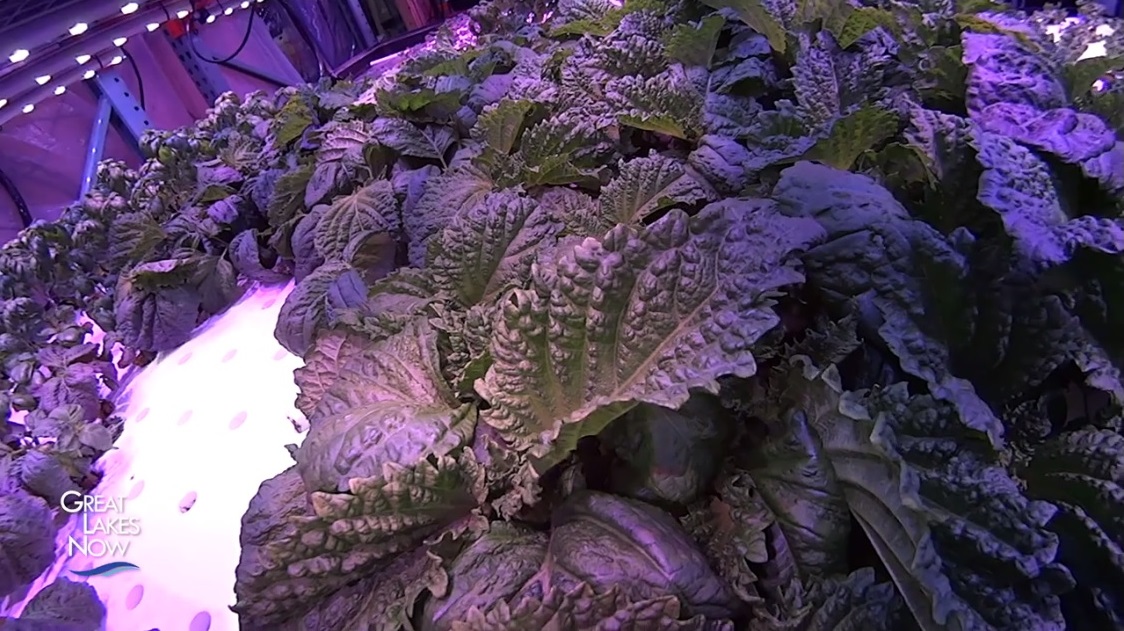
The 50th anniversary of Cleveland’s Cuyahoga River fire, Asian carp in the Great Lakes, and hydroponic farming in Detroit.
Watch the ShowPipelines, Plastics and Parks
Episode 1004
The fight over an oil-and-gas pipeline in the Straits of Mackinac, and microplastics in waters. The newest U.S. National Park on Lake Michigan’s shoreline.
Watch the ShowCruises, Rising Waters and Ship Safety
Episode 1005
Travel aboard one of the growing number of cruise ships as passengers visit First Nation communities on a Canadian island in Lake Huron.
Watch the ShowFeatured Articles
Digital Credits
The Great Lakes Now Series is produced by Rob Green and Sandra Svoboda.


