By Veronica Volk from Great Lakes Today
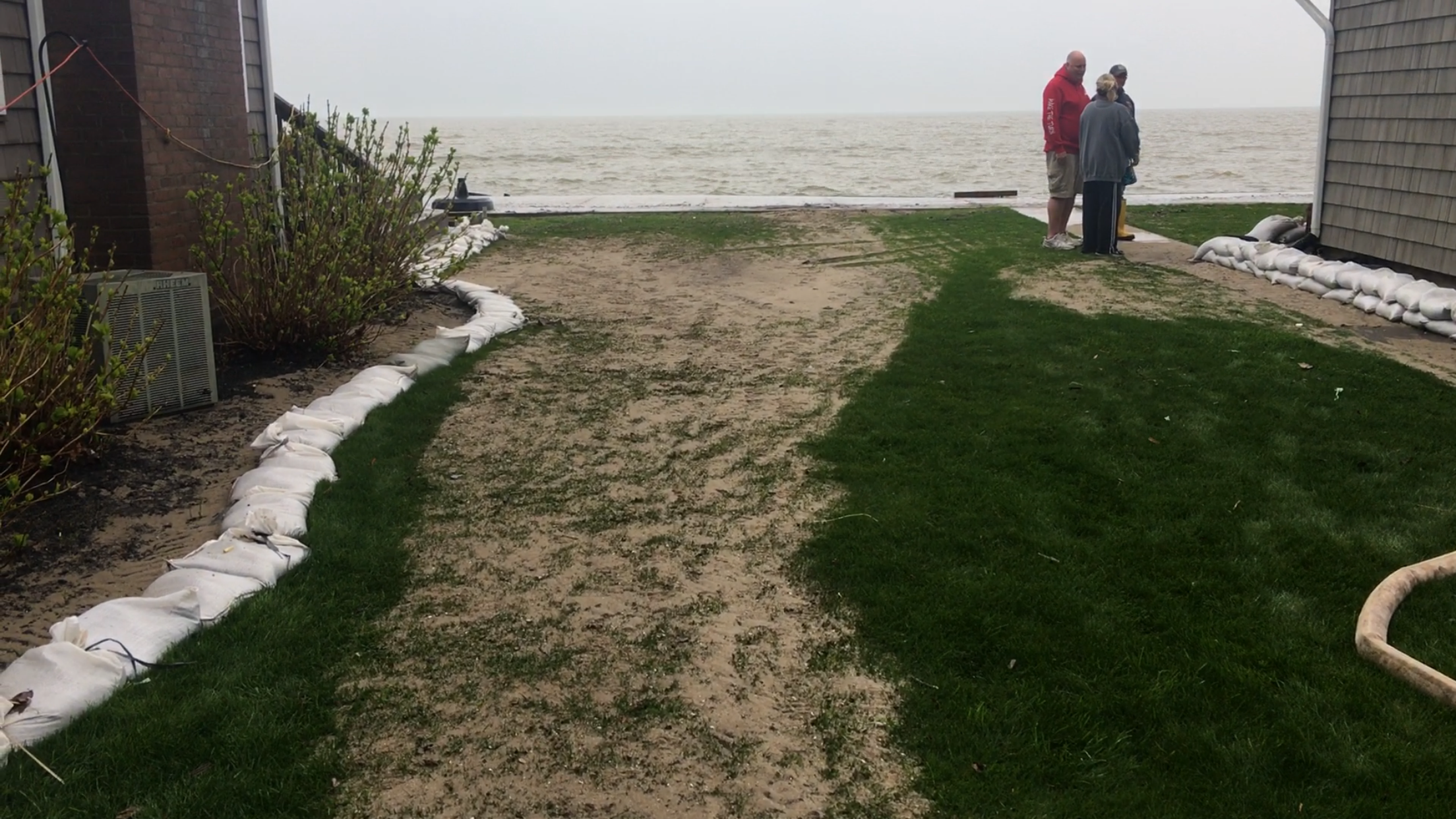
Jim Peer shows me his attached garage. It’s almost a hundred feet from the shoreline, but right now, it’s covered in water.
“Since we’ve been here we’ve never seen anything like this.”
Lake Ontario levels are higher than normal for this time of year, and a storm with heavy northeastern winds created waves that crashed over his protective structures, torn down his sandbags, and spilled into the yard.
Outside, he and his neighbor are using pumps and firehoses to get the water out of their flooded crawlspaces. Peel’s wife, Heidi, says the flood has been an emotional toll.
“Now you just start wondering, is this something that we have to look forward to every spring? When a northeast storm comes in?”
The Peels, and others, attribute at least some of their flood problems to a new lake level management plan that went into effect this year. The plan allows for more flooding on occassion, but experts argue Lake Ontario is spilling over due to a wet spring, and a lot of rain.
Hydrologist with NOAA’s Great Lakes Environmental Research Laboratory Drew Gronewold tells Great Lakes Now so many people and organizations are interested in Great Lakes water levels, he partnered with colleagues at the University of Michigan to create what’s called the “Great Lakes Dashboard.” This dashboard will be available on greatlakesnow.org so you can check Great Lakes water levels on a daily basis.


